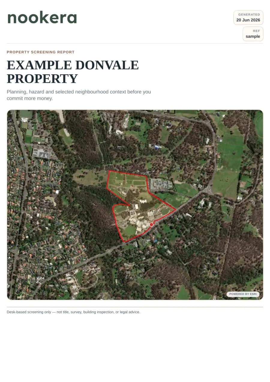
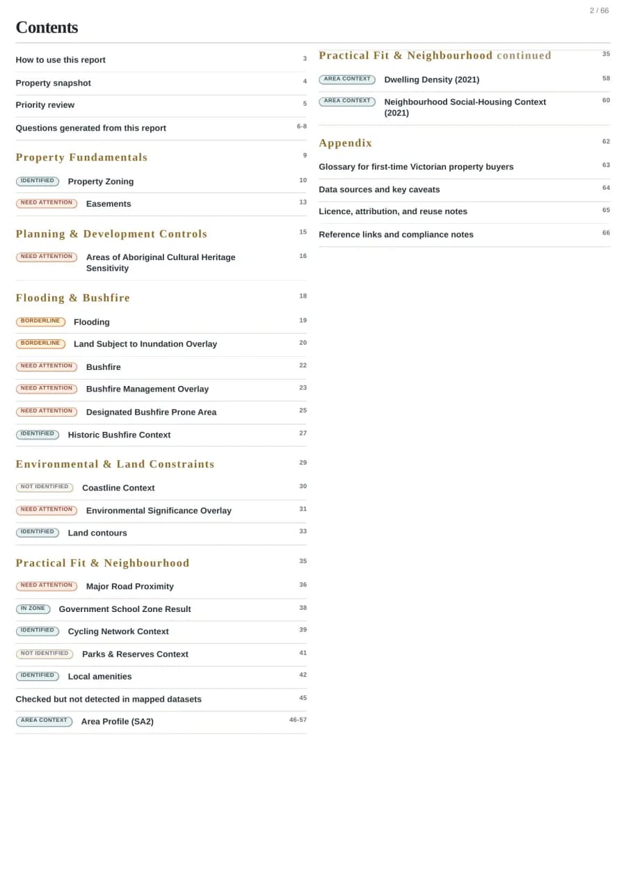
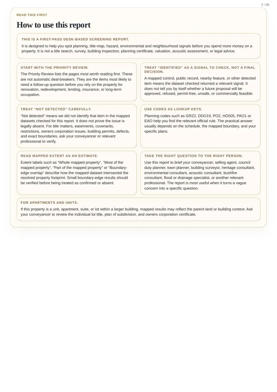
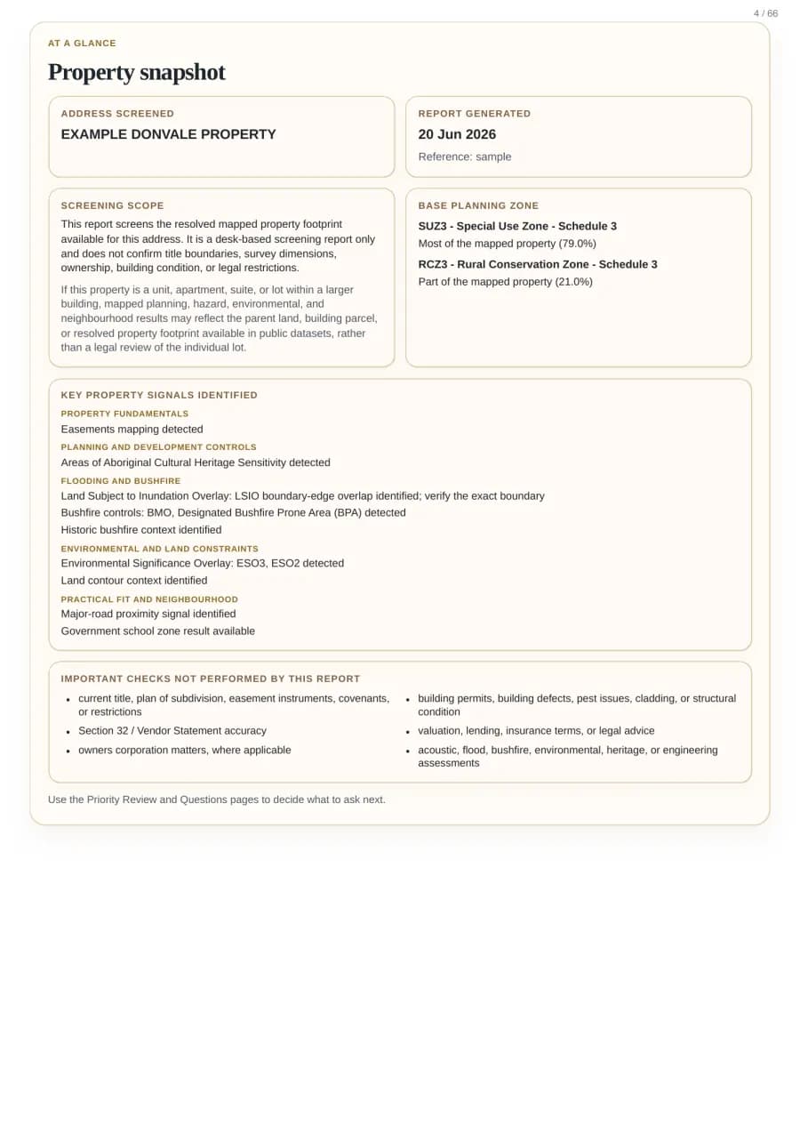
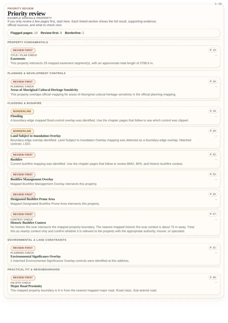
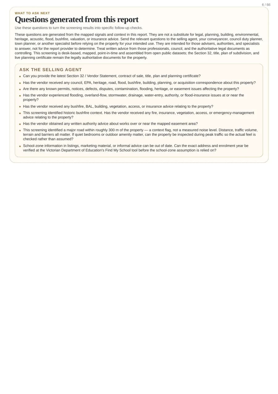
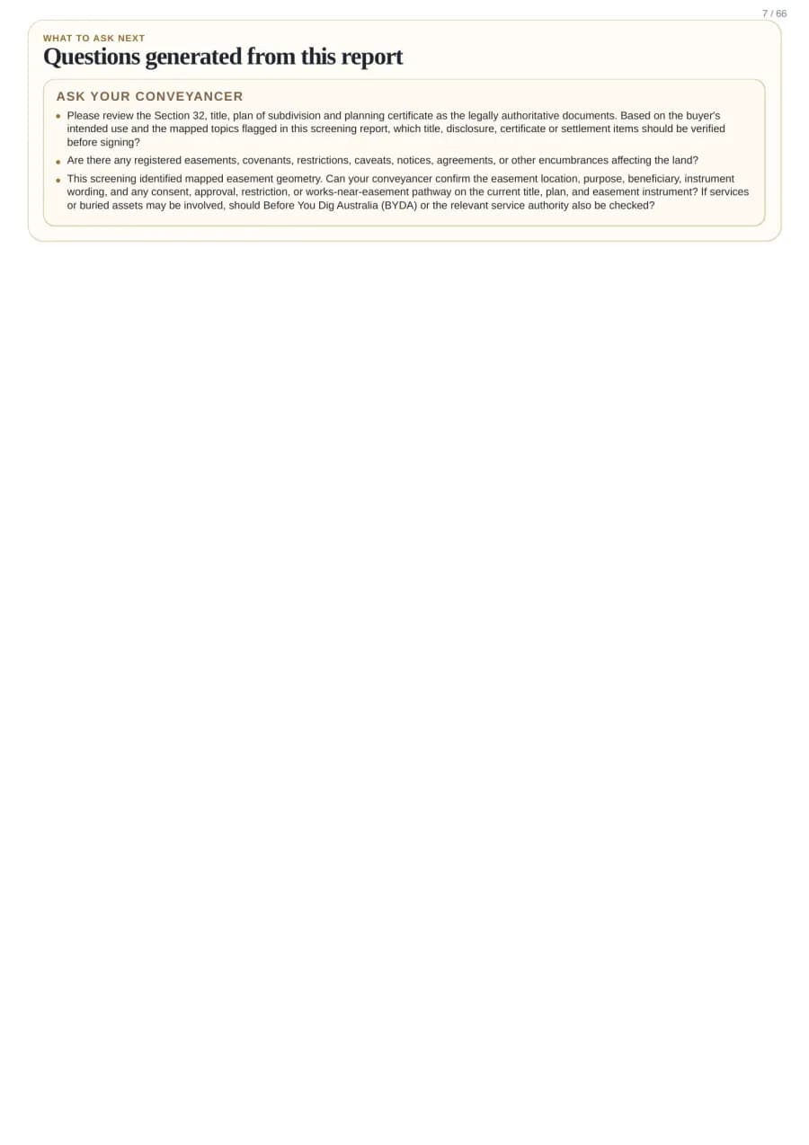
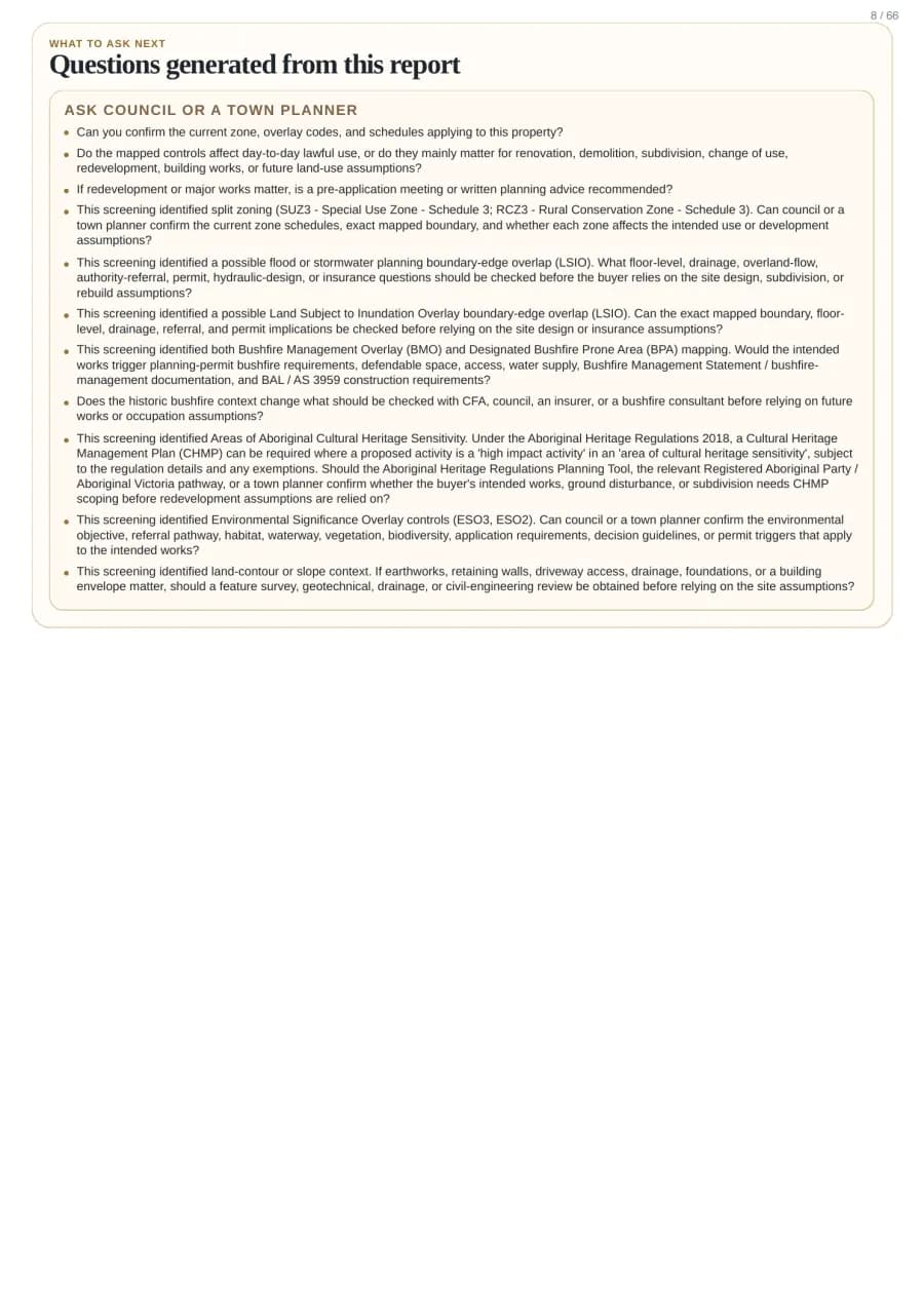
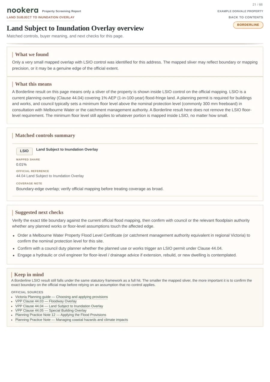
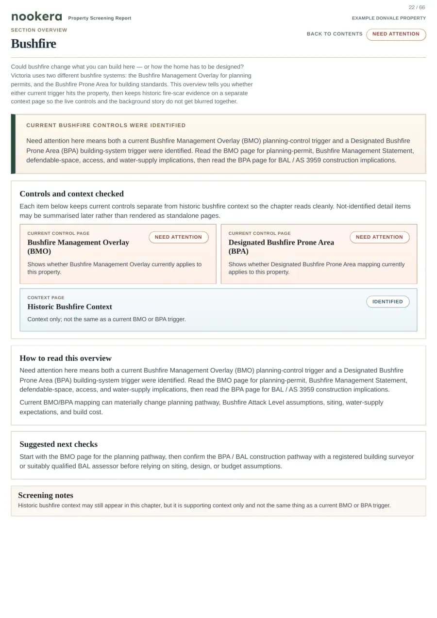
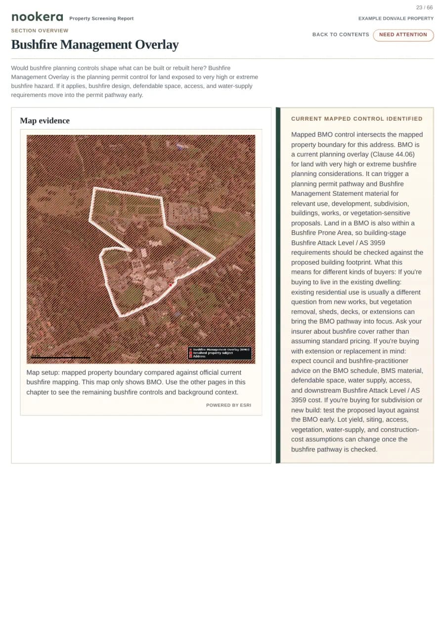
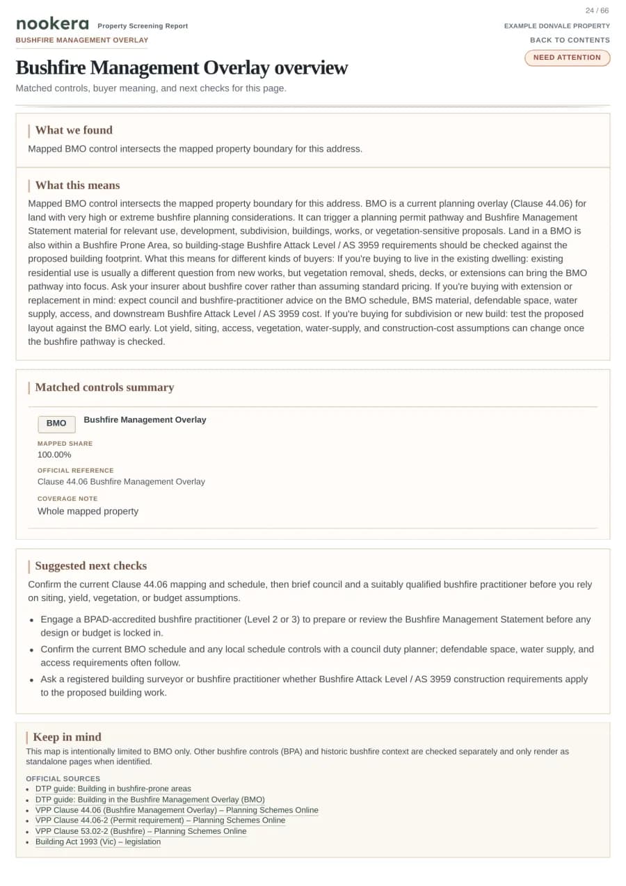
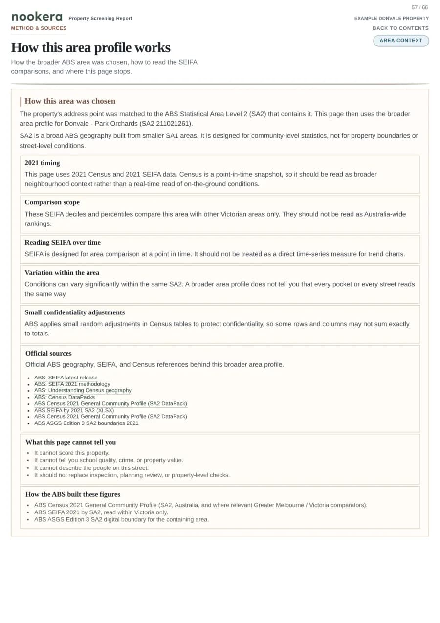
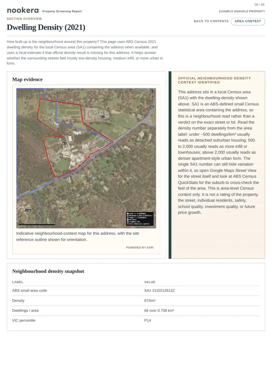
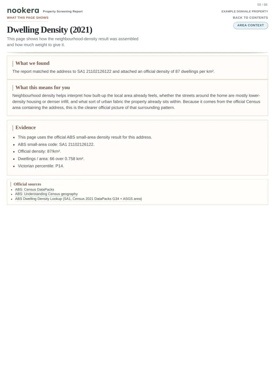
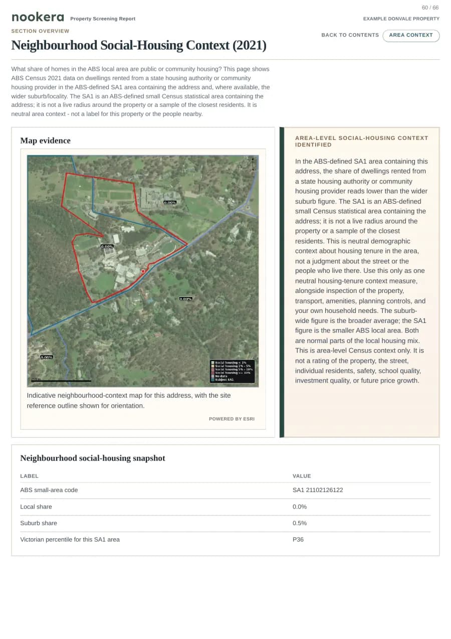
Nookera runs 49 planning, hazard, infrastructure, and area-context checks, then returns a source-cited PDF for the selected property. Starter starts at A$19 and includes 5 reports per month for your shortlist.
Online coverage
96.5%
of Victorian addresses shown in Nookera search can start online.
Current pricing
Starter monthly
A$19 first month
5 reports per month
Then A$59/month
Single report
A$39
One property, one PDF
GST included · Pro A$99/month for higher-volume searches
Check a Victorian property.
Type your address. We check delivery eligibility before any signup or payment — sign-in is only required at checkout.
Source categories: open Victorian and Commonwealth government evidence sources - source notes shown on major findingscurrent report format · secure customer PDF
What's inside
49 buyer checks, grouped into readable report sections.
Nookera checks planning controls, mapped hazards, infrastructure context, schools, amenities, and area signals before you commit. Related checks are grouped into roughly 21 customer-visible PDF sections, so the report is not a pile of disconnected pages.
How report sections are shown
Result label
Property or map context
Source note when needed
Unknown data called out
20 checks
Planning & overlays
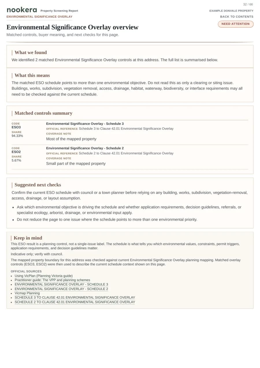
Find controls that may affect renovation, subdivision, demolition, future development, or council review.
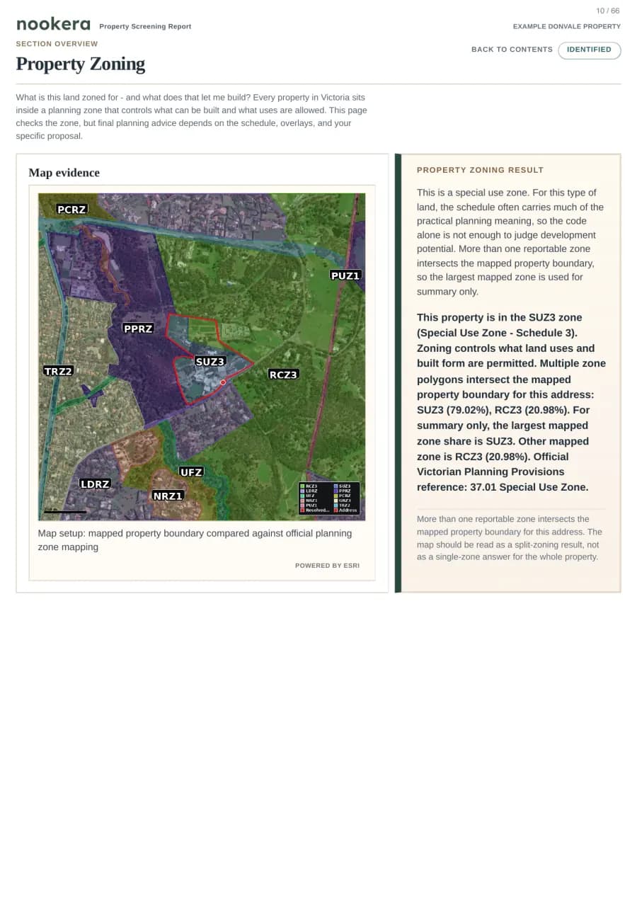
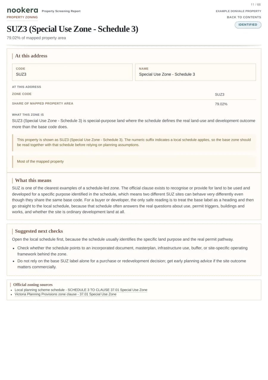
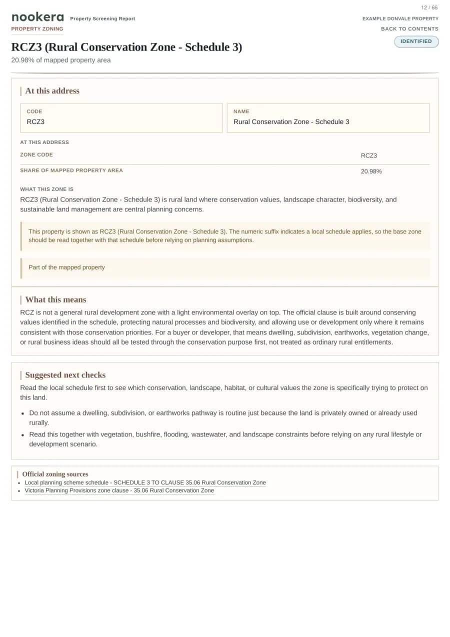
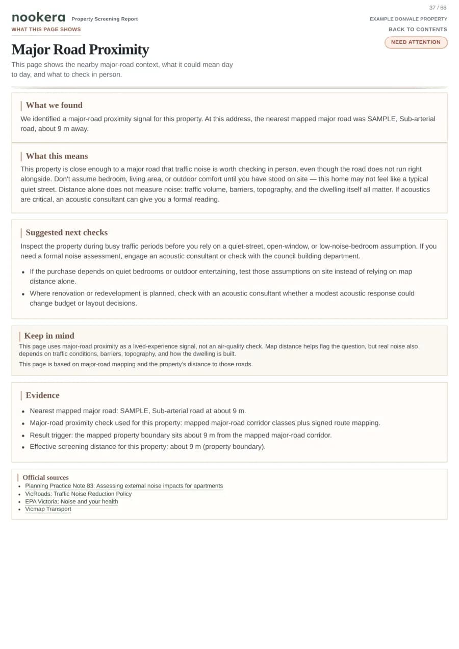
Property Zoning
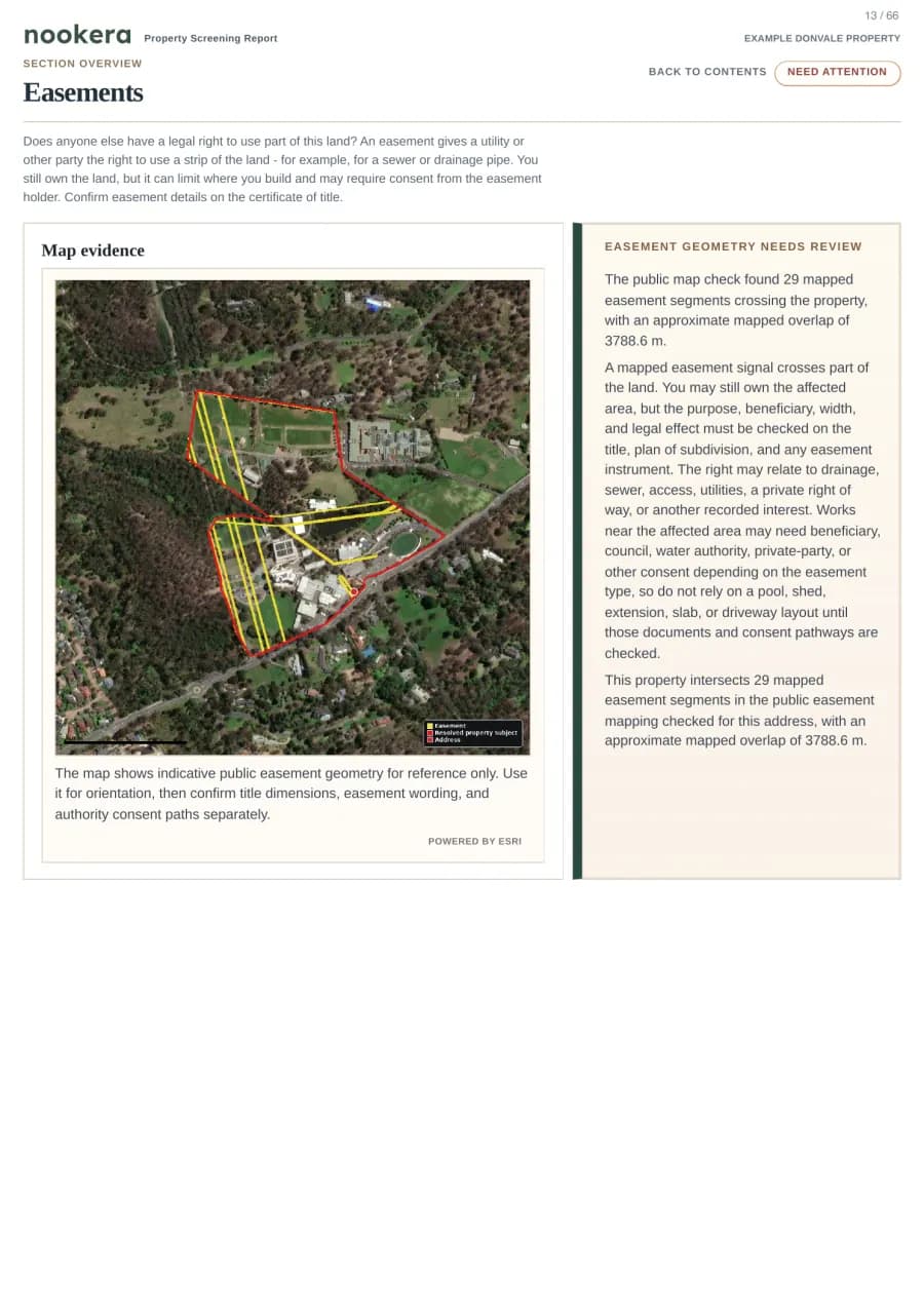
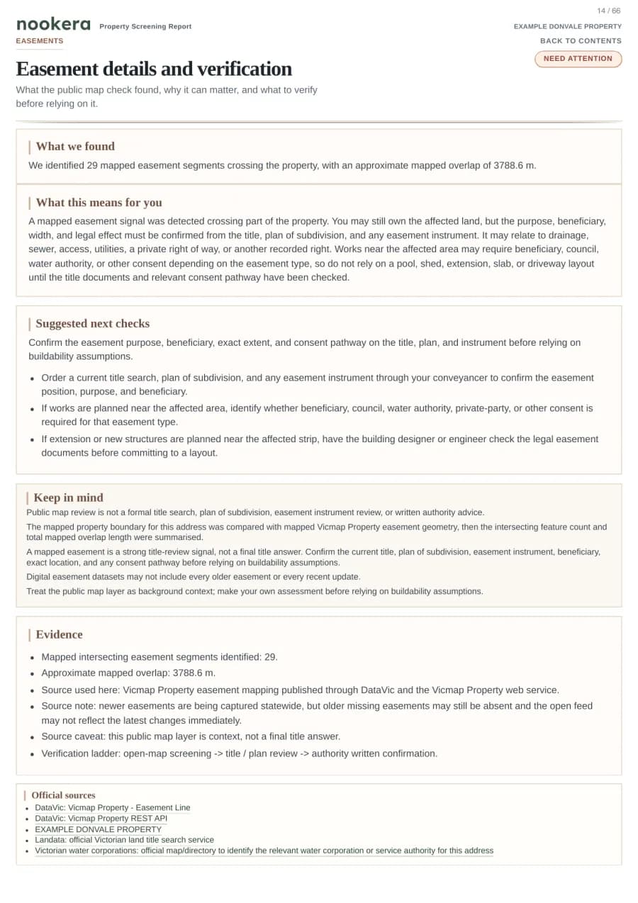
Easements
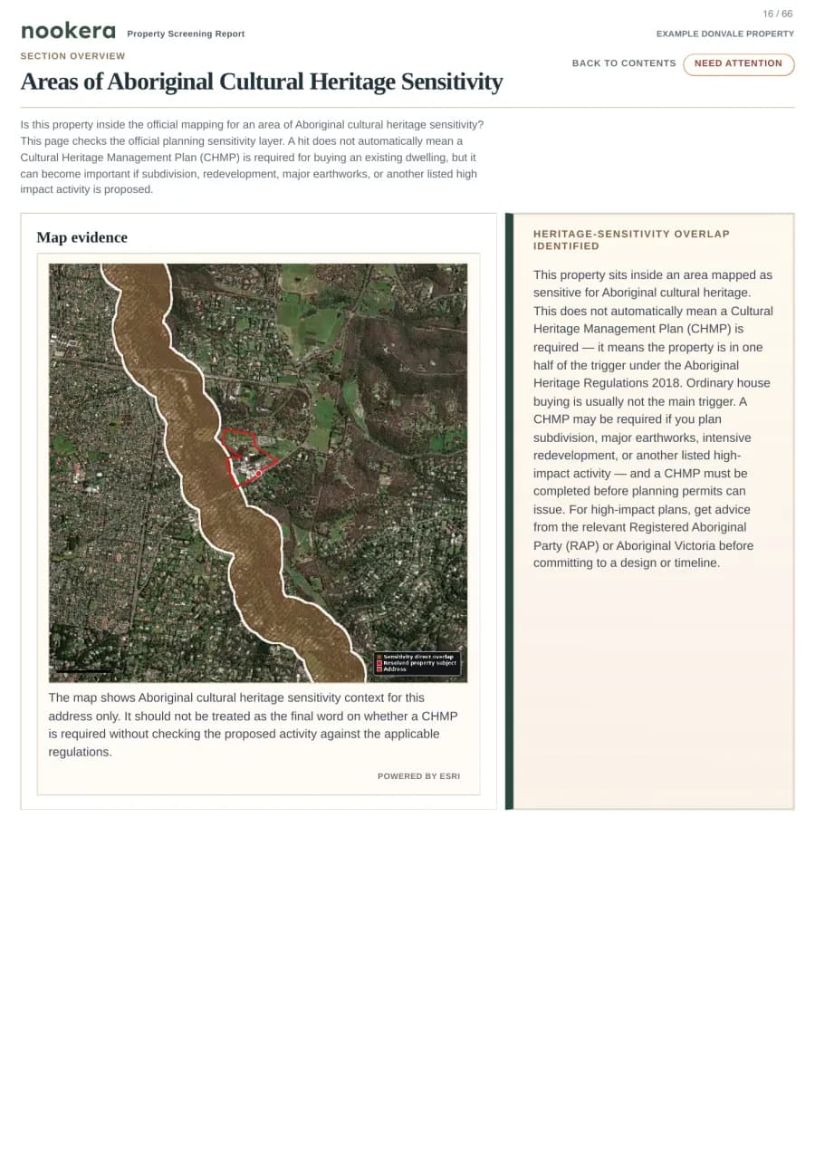
Heritage
Design and Development Overlay
Example: split zoning, easement overlap, and heritage controls stay tied to the selected property.
18 checks
Environment & hazards
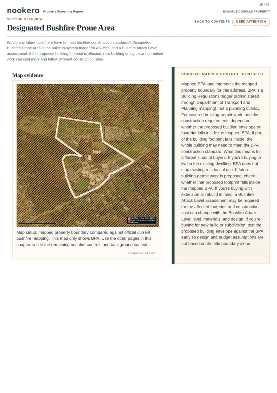
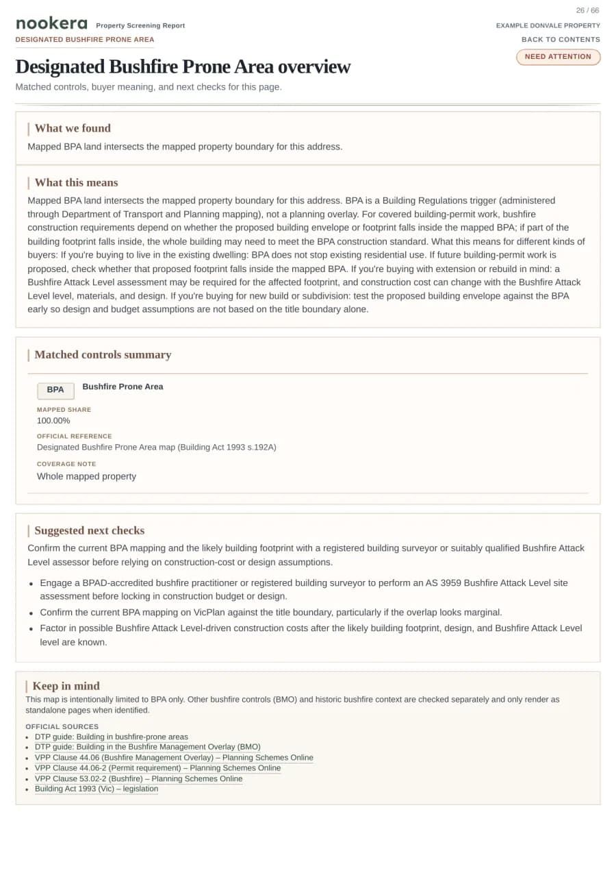
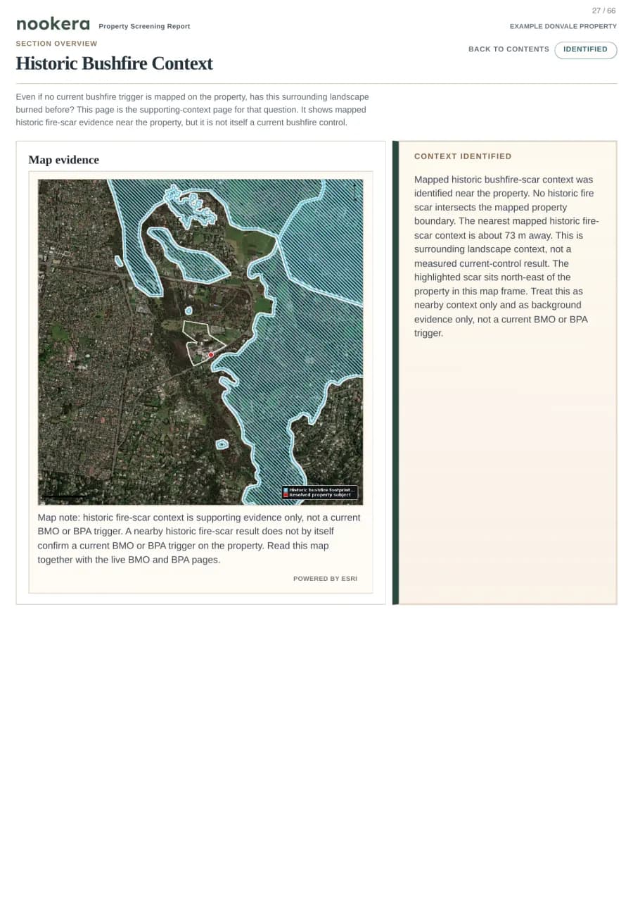
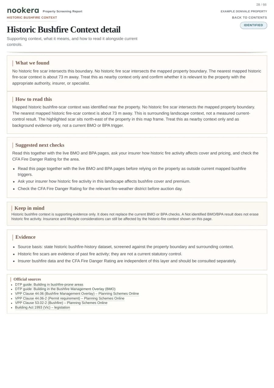
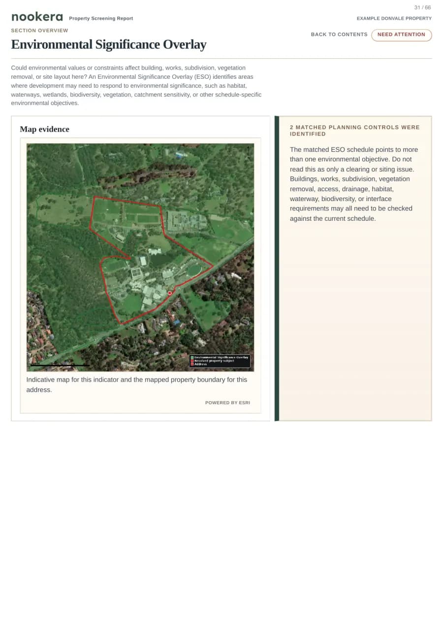
Spot mapped flood, bushfire, contamination, coastal, erosion and vegetation signals before you commit.
Bushfire
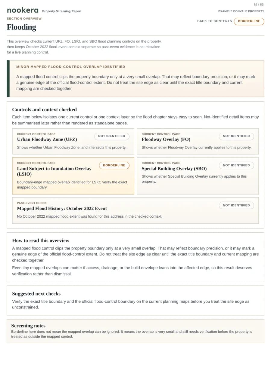
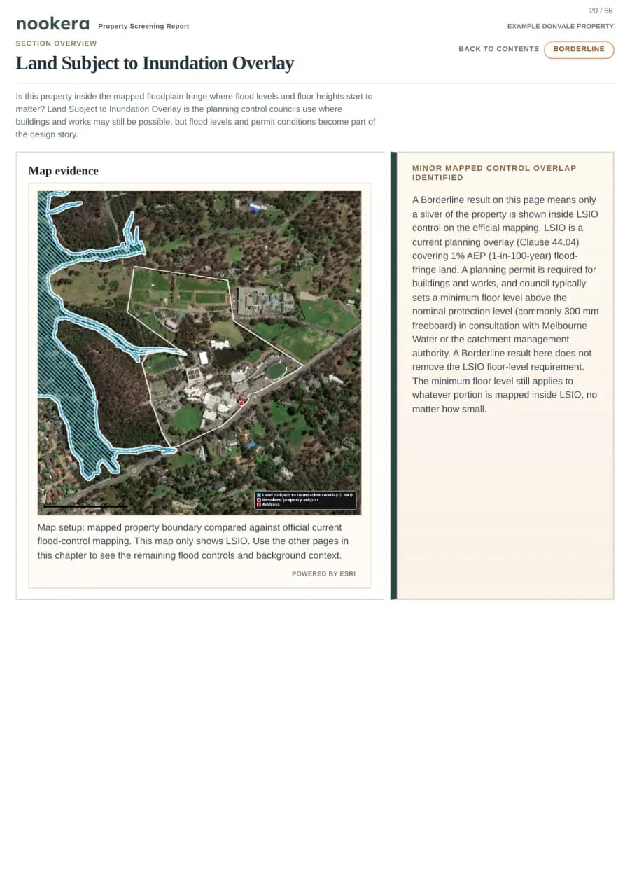
Flooding
EPA Contamination Records
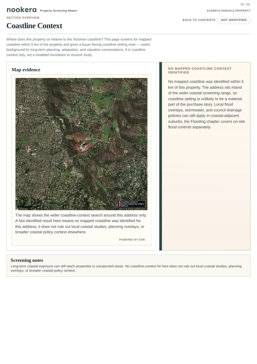
Coastline Context
Example: BMO, BPA, flood overlays, and EPA records are separated so the result explains the actual source.
3 checks
Infrastructure
Check nearby electricity assets and major road or rail context that may affect comfort or future review.
Electricity Infrastructure
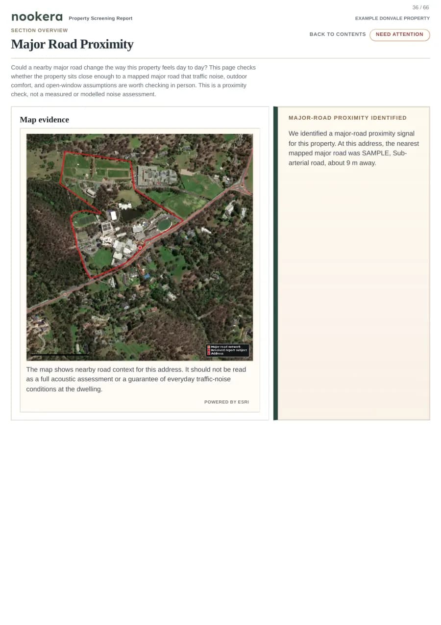
Major Road Proximity
Surface Heavy Rail Proximity
Example: nearby transport and utility context is measured from the property, not just a pin on the street.
2 checks
Transport
Understand parking controls and cycling/access context around the property.
Parking Overlay
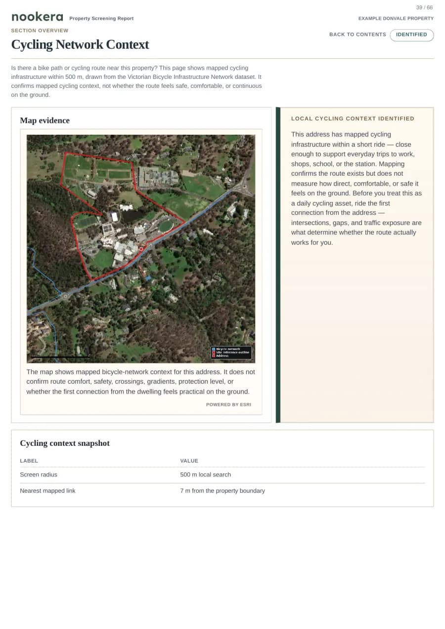
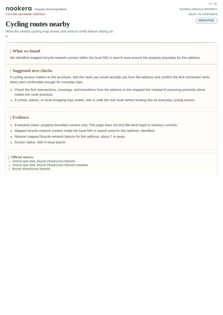
Cycling Network Context
Example: parking controls and cycling context are shown as screening signals, not hidden in a source appendix.
6 checks
Lifestyle & area profile
See school zone, parks, amenities, density and neighbourhood context for liveability and resale review.
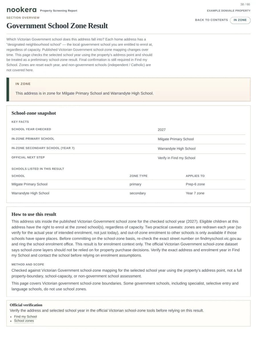
Government School Zone Result
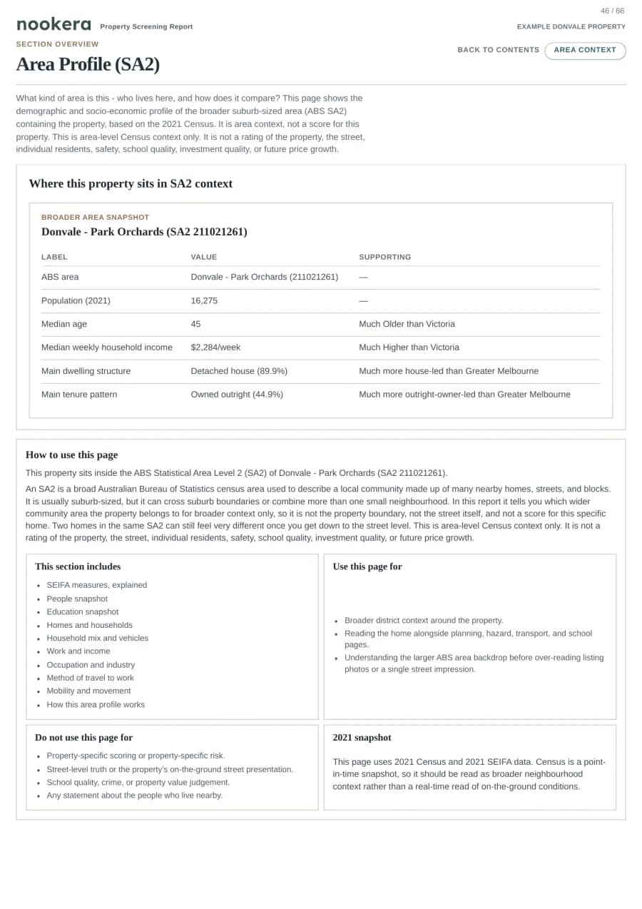
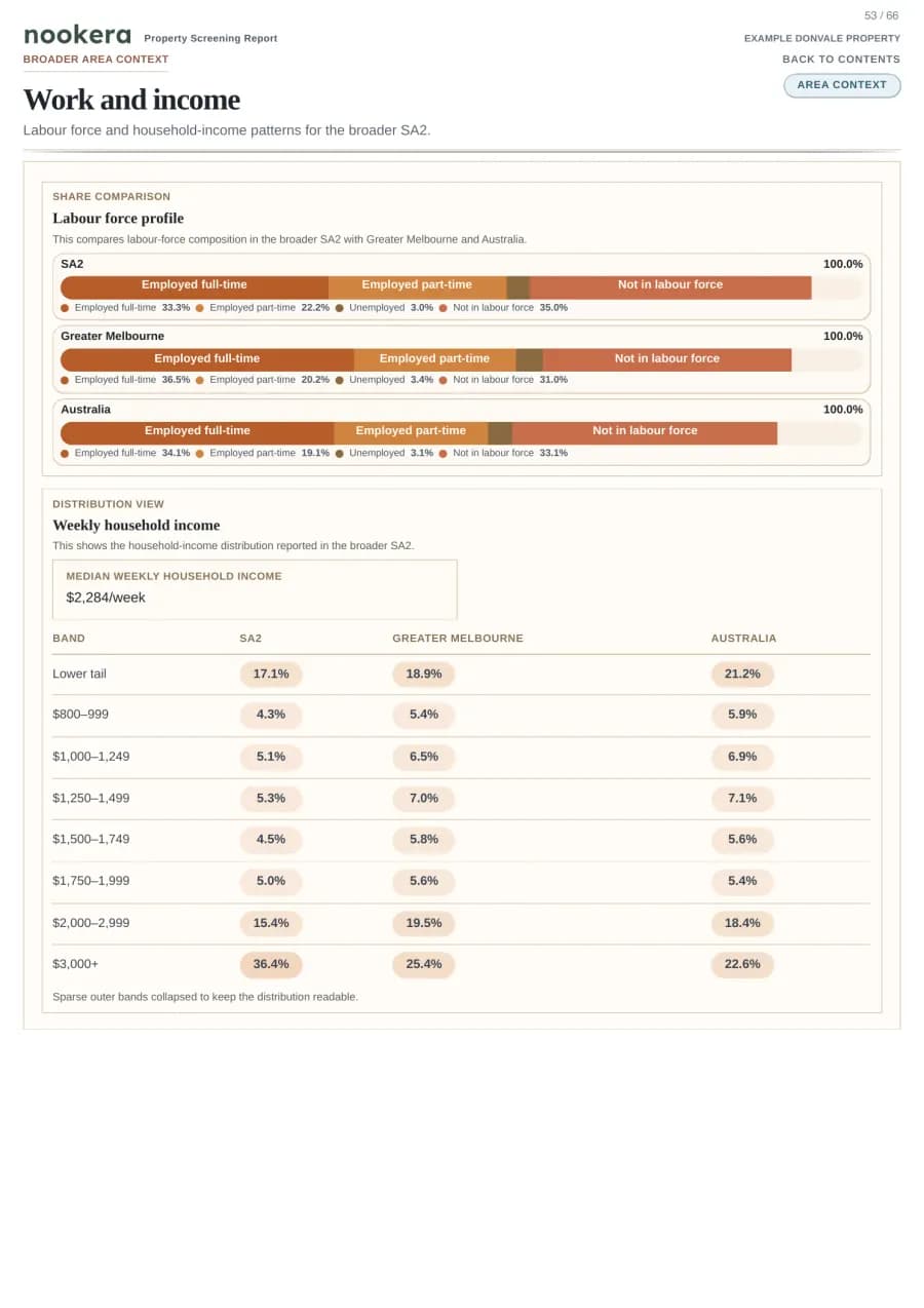
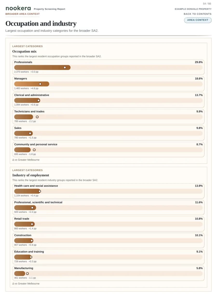
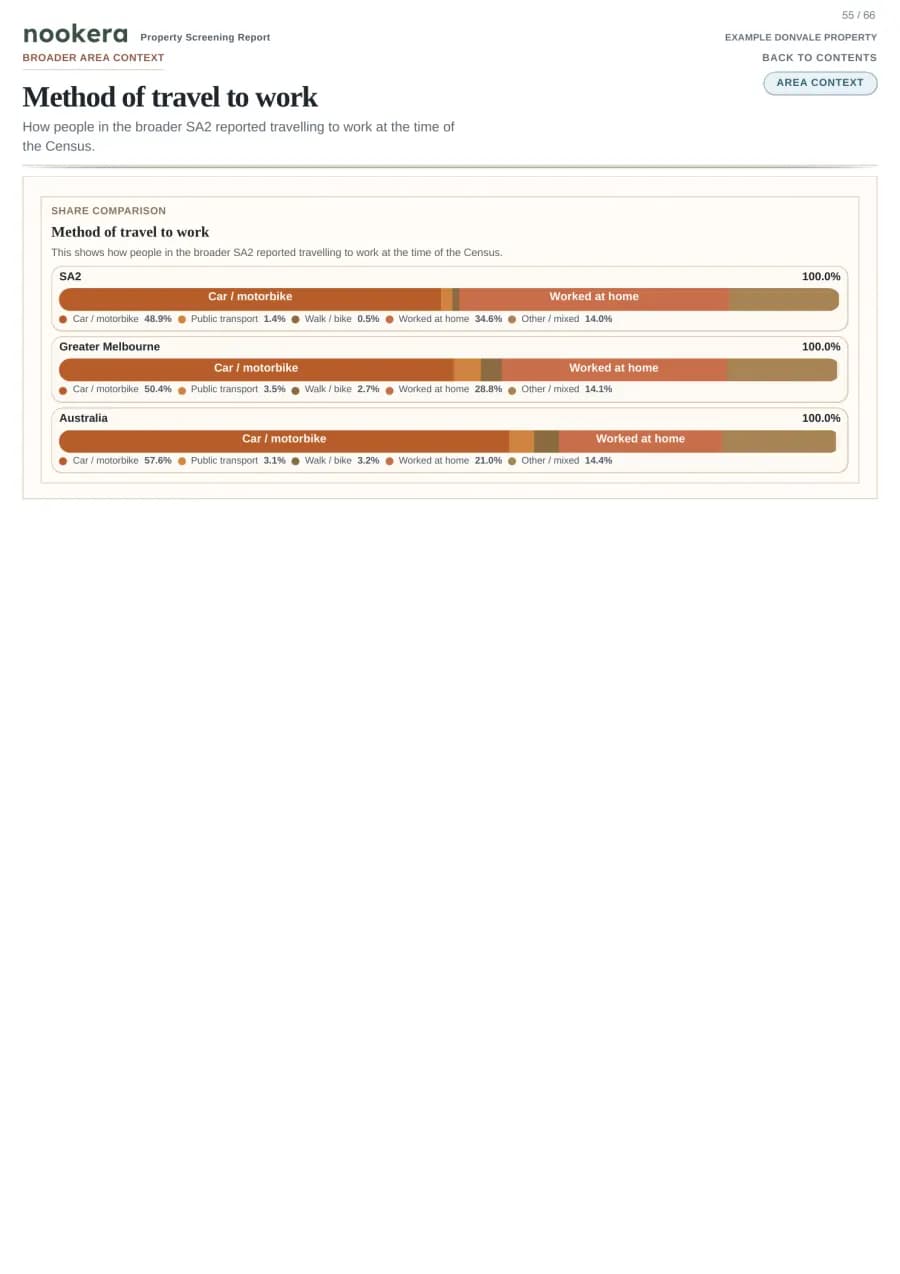
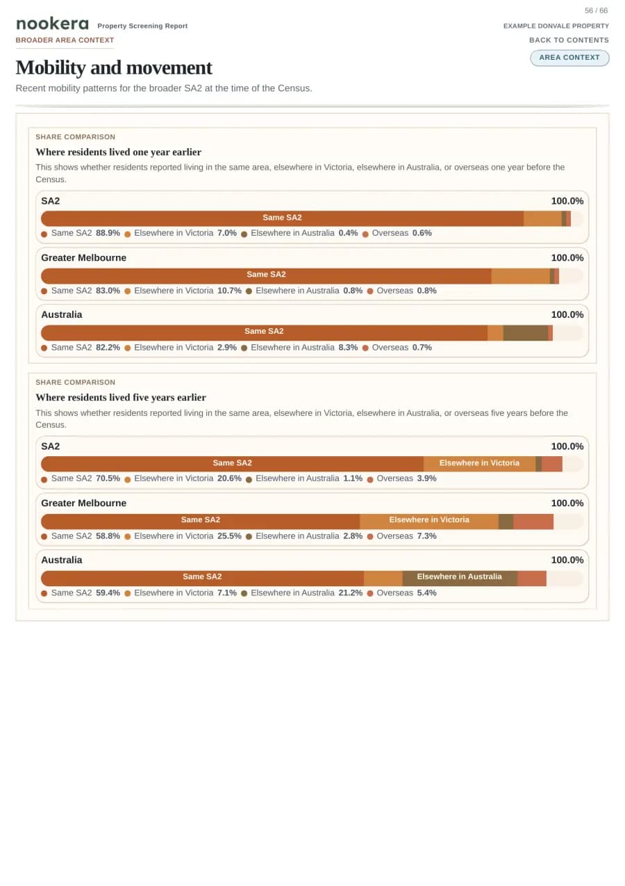
Area Profile (SA2)
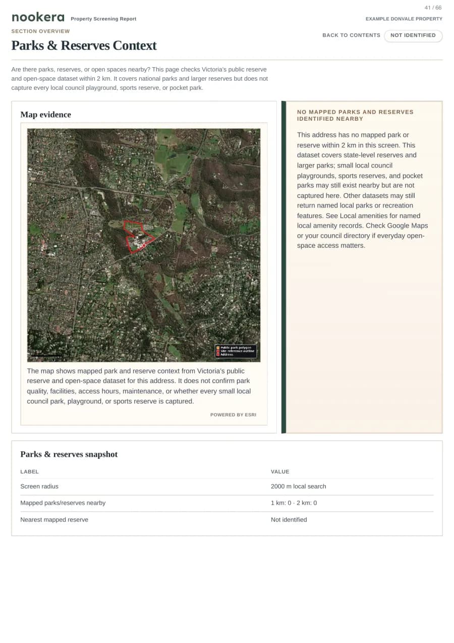
Parks & Reserves Context
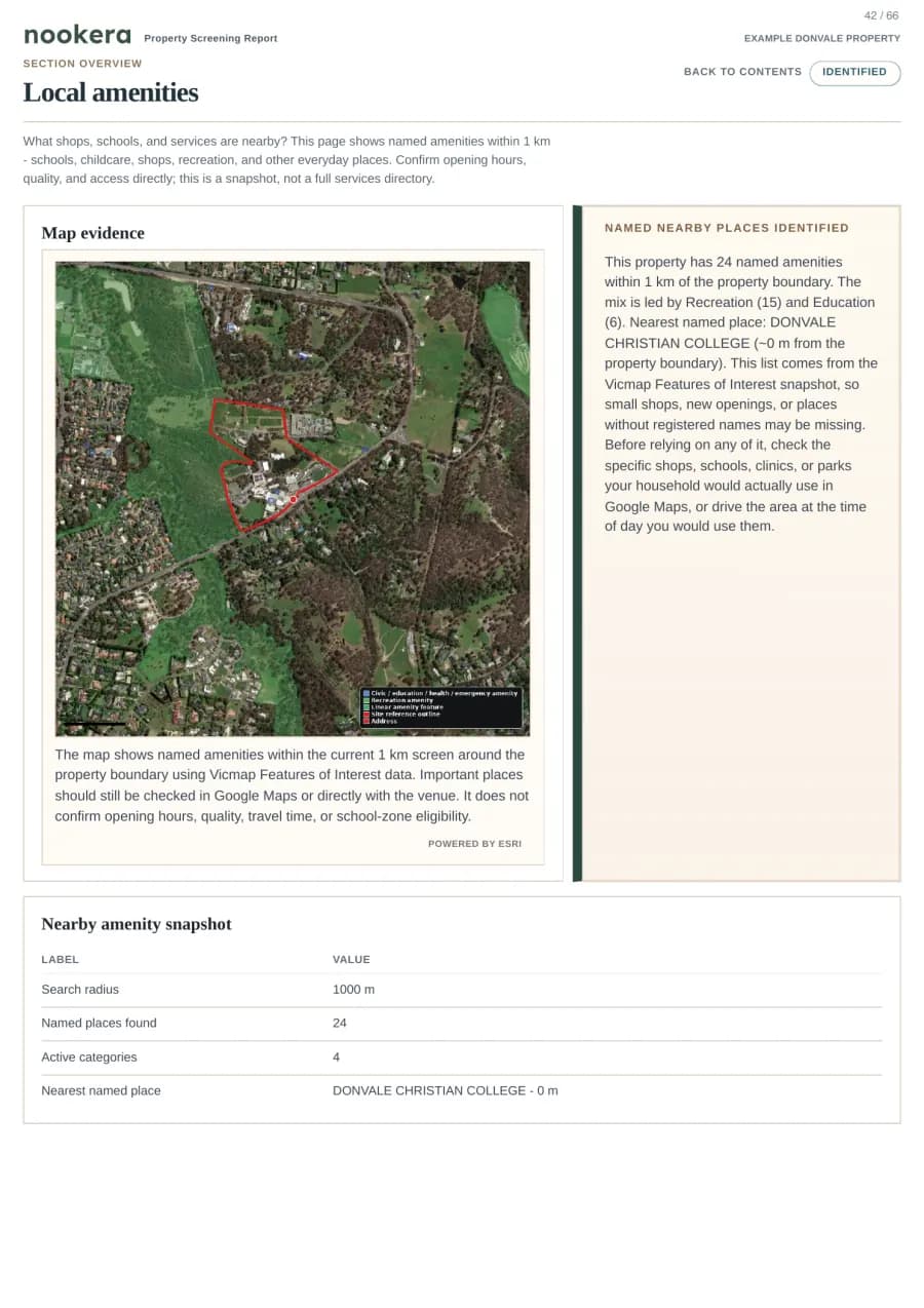
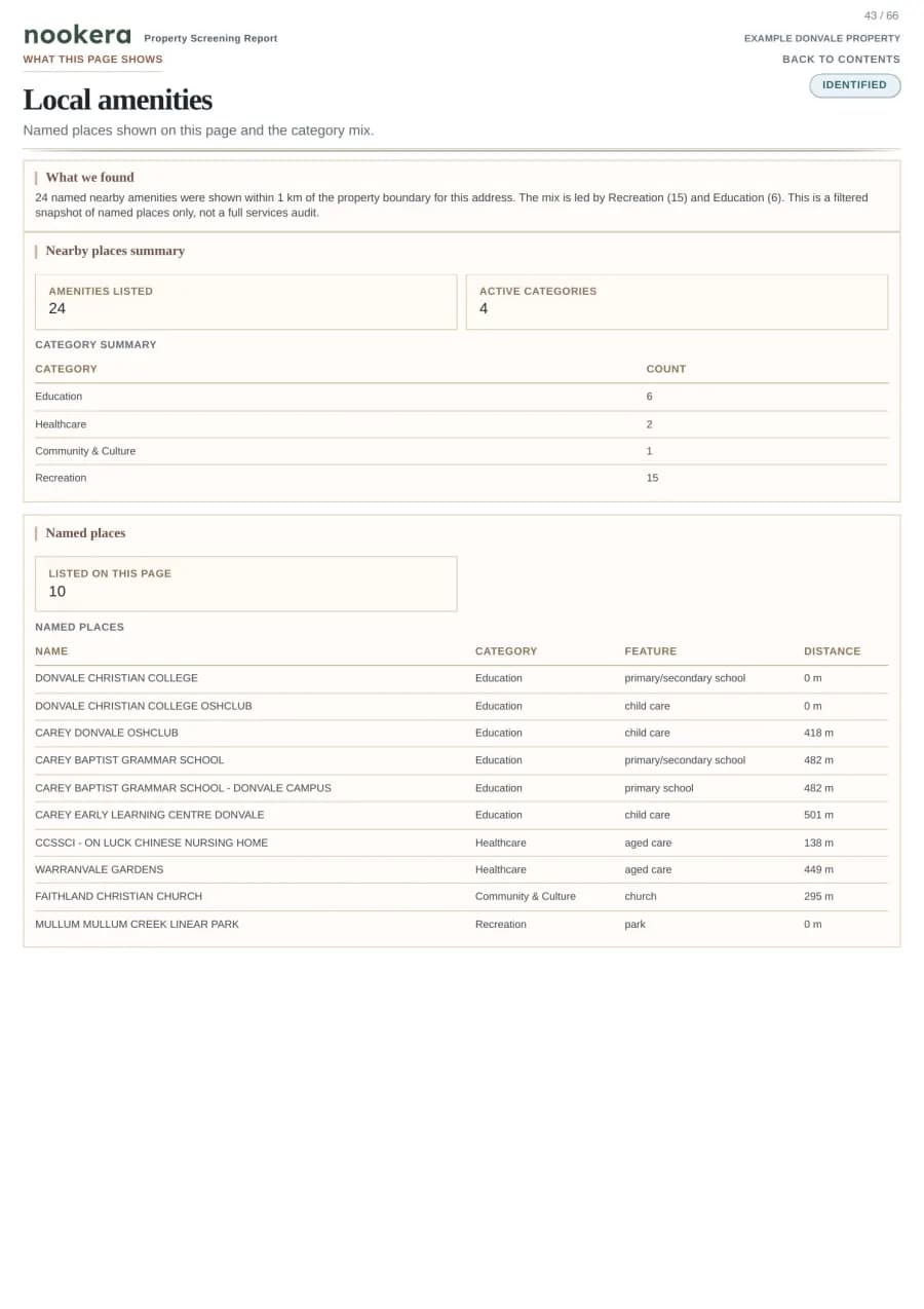
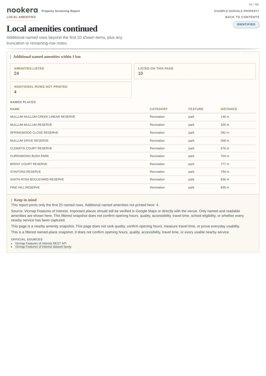
Local Amenities
Example: area context is labelled separately from statutory controls so lifestyle signals do not masquerade as legal risk.
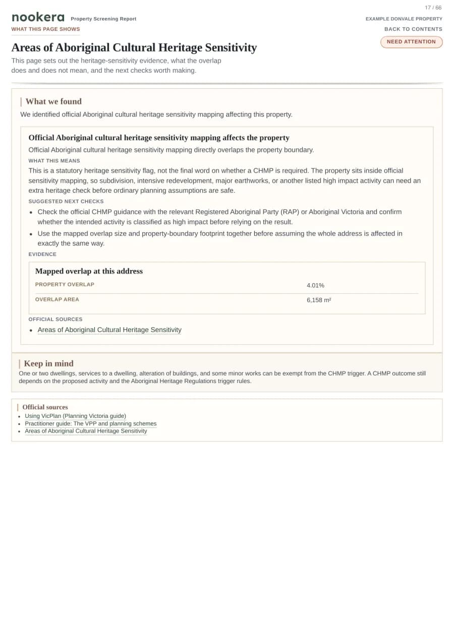
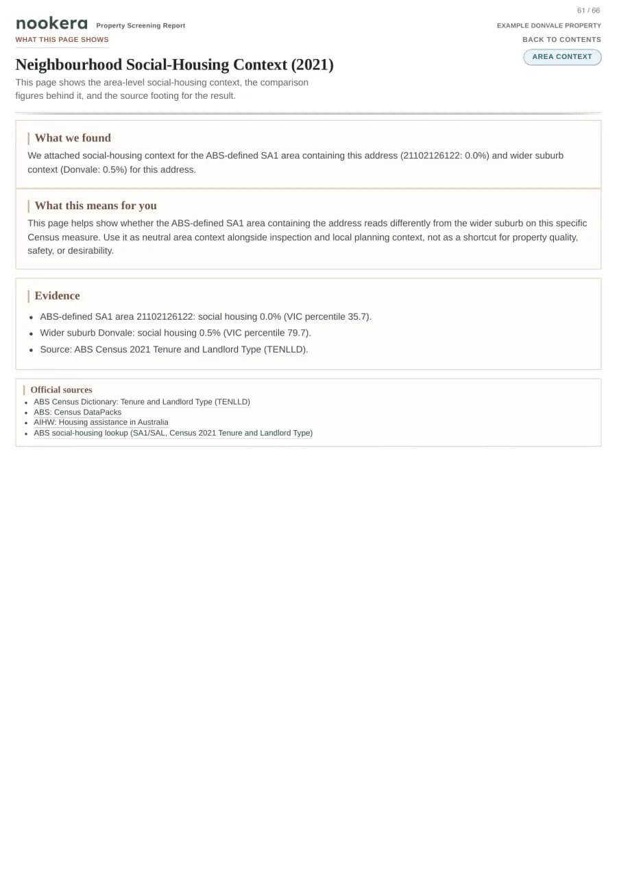
The current homepage list contains 49 checks. Report sections preserve originating datasets, timestamps, and source responses when a section relies on them. This is buyer-side screening, not a Section 32 statement, title search, building inspection, survey, or legal advice.
Most property reports are printouts. Ours is built to be read.
A buyer-side evidence pack should make the next question clearer, not bury it in raw layers.
01Principle 1
Readable evidence
Each section starts with the answer a buyer needs, then shows the evidence behind it.
Many property outputs make the reader interpret map layers themselves. Nookera leads with the result, then keeps the source trail underneath for checking.
02Principle 2
No silent blanks
If a source is unavailable or unclear, the report names the gap.
A missing response is not marked as "nothing found". If the answer cannot be confirmed, the report says what needs follow-up.
03Principle 3
VIC-native depth
Built for Victorian planning, hazards, and infrastructure first. Not retrofitted.
The report is built around Victorian property, planning, hazard, environmental, heritage, infrastructure, and neighbourhood-context records rather than a generic national template.
04Principle 4
Checks the whole property
Distances are measured from the selected property, not only an address pin.
Nookera matches the address to an official property record. If a property cannot proceed online, we pause instead of guessing from a nearby pin.
Dimension
Nookera
Other property reports
Report structure
Verdict → evidence → citation, per section
Raw data layers in long PDF
Handling of missing data
Clear follow-up note
Often leaves gaps unstated or blank
VIC-specific coverage
About 96.5% of addresses shown in search can start online
Often only clear later
Selected property
Official property record first
Boundary basis may be unclear
Source citations
Source trail and available timestamps
Varies by provider
Pricing
Start with Starter, or buy one report.
Starter is the default choice when you are comparing a shortlist of Victorian properties. Single reports stay available when you only need one property.
Starter is A$59/month with 5 reports per month. Single reports are A$39 if you only need one property. Pro is A$99/month with 20 reports per month.
About 96.5% of addresses shown in Nookera search can start online. We check each selected property before payment or included-report use.
Business
BlackAurum Pty Ltd · ABN 74 696 572 666
Support
hello@nookera.com.au
Delivery
Usually within minutes; up to 24 hours when sources are slow
Download
30 days after the PDF is ready
Subscription checkout shows the key billing, report, refund, and coverage terms before Stripe opens.
Starter
5 reports per month
Recommended for a serious property search.
A$59/month
Billed monthly until cancelled.
5 included reports for Victorian properties each paid billing period
Billed monthly until cancelled; no rollover, allowance resets each paid billing period
Account support is available if the billing portal is unavailable
Start with five Victorian property reports each month.
20 included reports for Victorian properties each paid billing period
Billed monthly until cancelled; no rollover, allowance resets each paid billing period
Account support is available if the billing portal is unavailable
Useful when you expect to screen many properties in the same month.
Prices are in AUD and include GST. Reports, receipts, and invoice links stay in your account.
Most reports are ready within minutes. Some properties or source checks can take up to 24 hours.
Review the delivery, refund, subscription, and report-limit terms in the confirmation step before checkout.
FAQ
Straight answers on data, scope, and trust.
If it matters to a conveyancer or a buyer's agent, we've probably been asked it. If we haven't, tell us.
Trust signals
Completed report files are securely stored with a clear record of when they were prepared.
Source notes and available timestamps stay close to the findings they support.
Unresolved outcomes are labelled plainly instead of hidden.
Built for buyer-side and professional review workflows.
Is this a Section 32 or a Vendor's Statement?
No. A Section 32 is a legal vendor disclosure under the Sale of Land Act 1962 (VIC). Only the vendor's lawyer or conveyancer can produce it. Nookera is a buyer-side screening tool that helps you see what to investigate before you rely on a purchase decision. Use them together.
Where does your data come from?
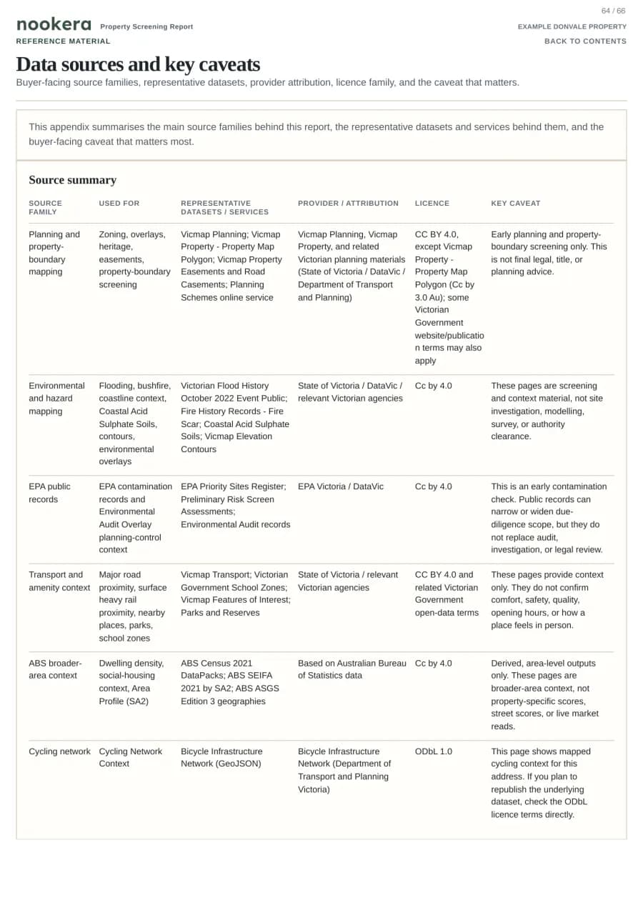
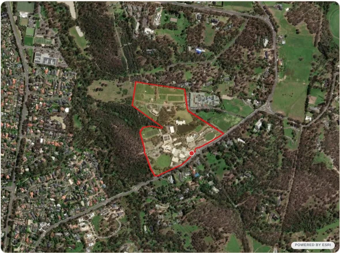
Report evidence is drawn from Victorian and Commonwealth open-government records covering property records, planning controls, hazards, environmental context, heritage and cultural sensitivity, transport, schools, amenities, and area context. Map imagery powered by Esri. Source: Esri, Vantor, Earthstar Geographics, and the GIS User Community. Basemap imagery is visual context, not the report's cited evidence. We do not resell or relabel paid or restricted datasets. Major findings name relevant source notes close to the claim.
What do the planning and source acronyms mean?
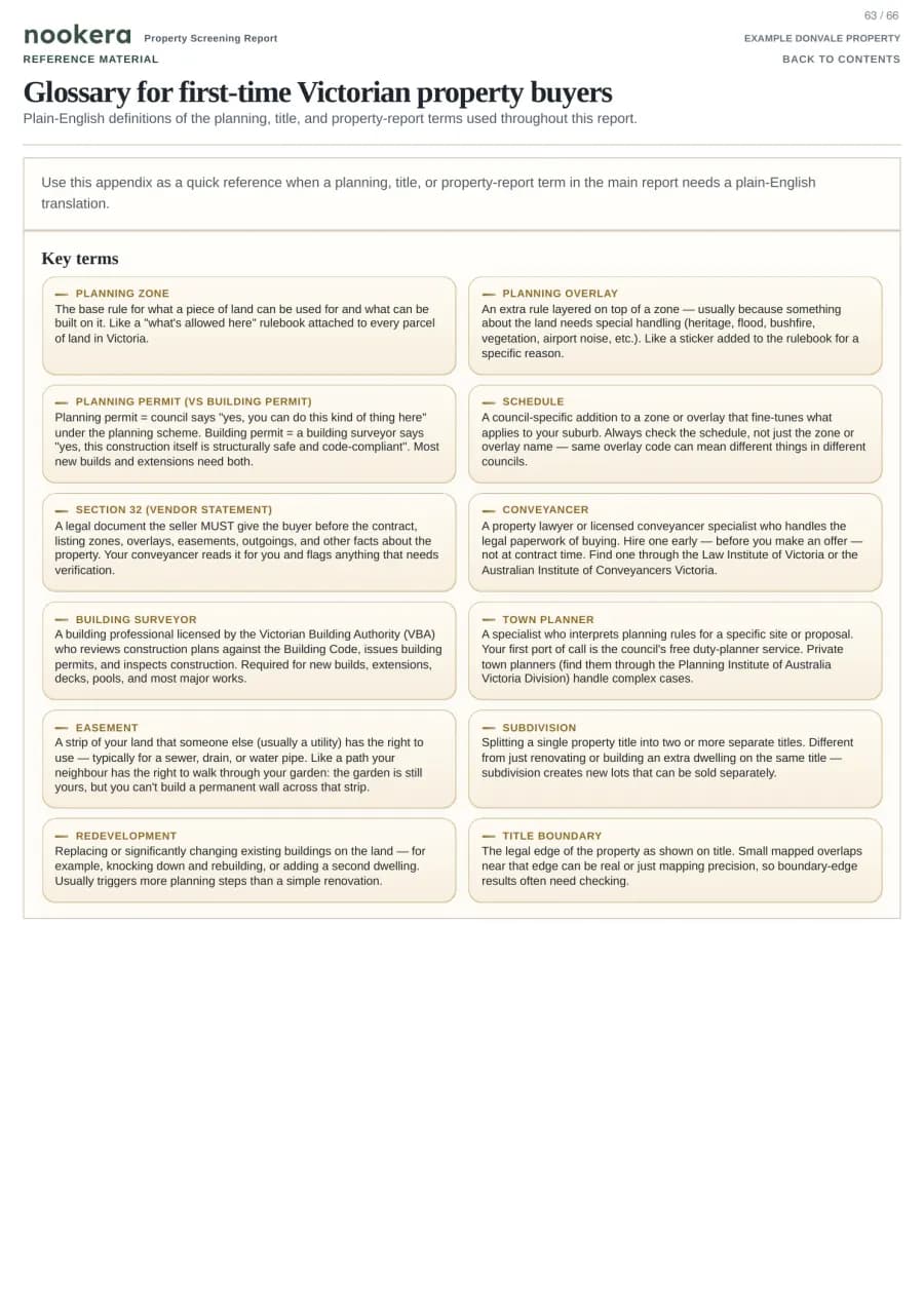
The report uses official planning, environmental, heritage, area-context, and government source names when they matter. Section 32 is the vendor disclosure document for a Victorian property sale; Nookera is not a Section 32, title search, council certificate, or legal document.
How do you choose the property?
We match your address to the official property record and measure checks from the selected property rather than guessing from a nearby lot.
Can every Victorian address be handled online?
About 96.5% of Victorian addresses shown in Nookera search can start online. About 3.5% are not currently available for online reports. Online availability depends on whether the selected Victorian property can be matched to the official property record used by the report. You can check whether the selected address can proceed online before payment.
What happens if data is unavailable?
If a source is unavailable or unclear, the report names the gap instead of marking it as "nothing found". A conveyancer or adviser can see which claims were confirmed and which need follow-up.
How long does a report take?
Most reports are ready within a few minutes. Some properties or official source checks can take up to 24 hours. We email when the PDF is ready. Check Spam, Junk, Promotions, or Updates if you do not see it. Your account page also shows the latest report status and downloads.
Why can 49 checks appear as fewer PDF sections?
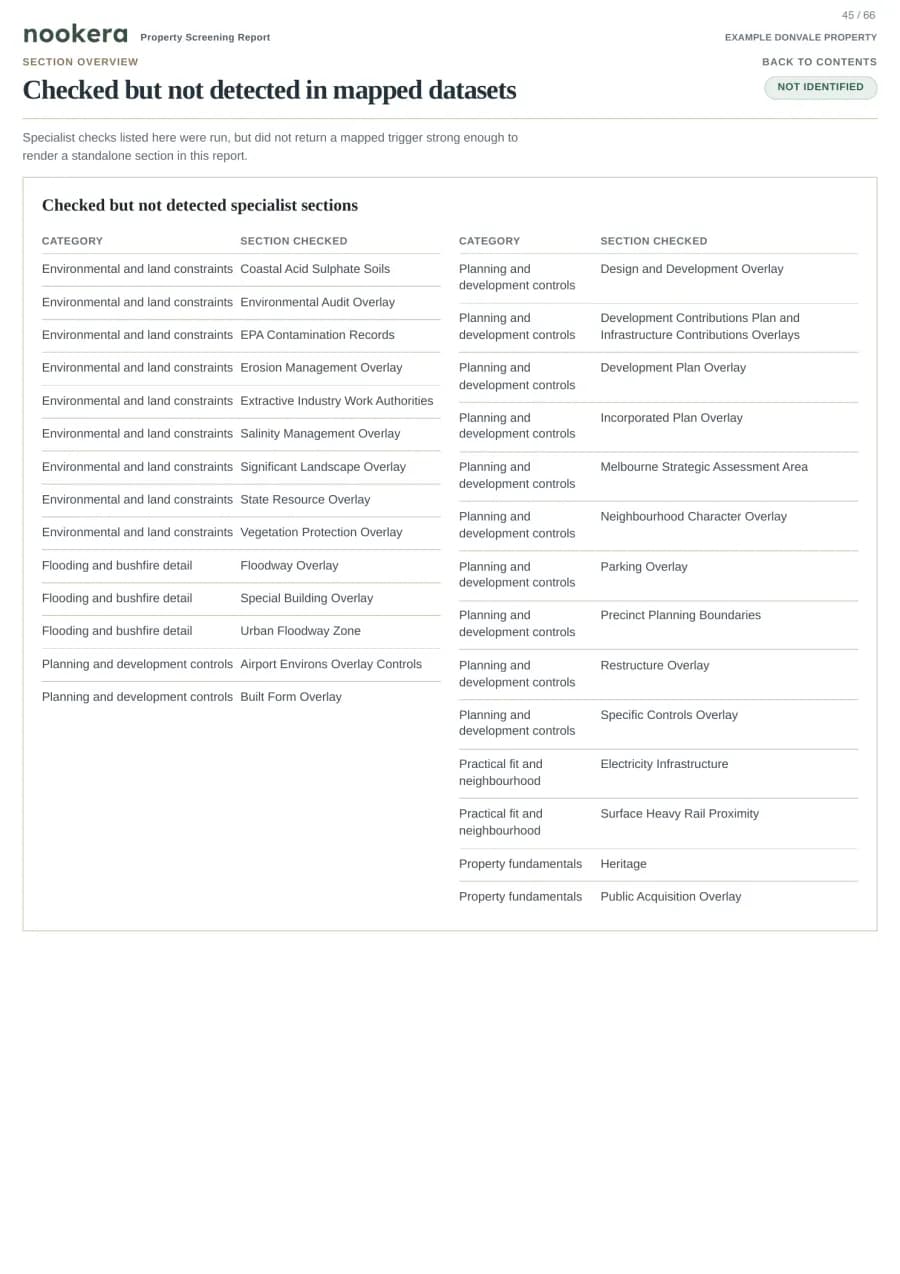
49 checks are grouped into roughly 21 customer-visible sections, plus a checked-but-not-detected summary when the report needs one. This keeps the PDF readable while still showing detected evidence, not-identified summaries, and source notes when they are needed.
Do you support NSW or QLD yet?
Nookera is Victoria-only right now so the property, planning, hazard, and source rules stay specific to one jurisdiction.
Can I buy a subscription?
Yes. Starter is A$19 first month, then A$59/month with 5 reports per month. Pro is A$99/month with 20 reports per month. Single reports are A$39 if you only need one property. Monthly reports do not roll over. Active Pro customers may choose a paid Pro report for the selected property without using monthly included reports. If a subscription payment issue is unresolved, new included report use may pause until the billing issue is resolved.
Is this legal or financial advice?
No. Nookera is an information tool. We aggregate and interpret open government data to help you make an informed decision. It does not replace legal advice from a solicitor or conveyancer, nor a formal property valuation.
Start with the right Victorian property.
Enter a Victorian address, confirm the selected property, and continue to checkout when you are signed in.